Asset Impact Monitoring System (AIMS)
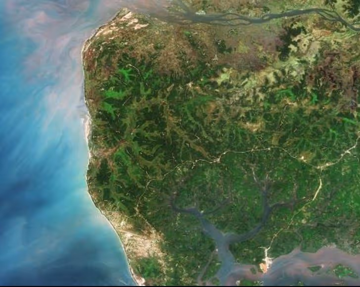
In recent decades, satellite Earth Observation (EO) technology has developed to become a highly effective method of landscape monitoring. In addition, medium- and high-resolution imagery provide an opportunity for WFP to monitor the long-term and large-scale landscape impact of its FFA and engineering programmes, even in areas where access or resources are limited. The ever-growing archive of satellite images allows users to “go back in time”, to compare past and present situations and understand how the landscape has evolved. Finally, satellite sensors are also capable of detecting biophysical variables that human vision cannot, such as groundwater content, temperature surfaces and vegetation cover health. During the pilot phase of AIMS, WFP’s FFA and Vulnerability Analysis and Mapping teams looked at five distinct types of FFA activities - soil and water conservation, water catchments, irrigation canals, forestry and engineering feeder roads - in five countries: Niger: Guidan Roumdji region - soil & water conservation activities for land rehabilitation and improved agricultural productivity Afghanistan: Gamberi desert in the northeast part of the country - reforestation activities, with 1,000,000 trees planted to re-green the area Sudan: Hamesh Koraib - check dam rehabilitation to reduce flood incidence and to harvest sediment load to grow trees and shrubs South Sudan: Pageri-Magwi - engineering feeder road rehabilitation to increase constructions and cultivated land along the road (not FFA) Tajikistan: Vatan - irrigation canal rehabilitation to increase water availability for cultivation and improve productivity during the dry season Satellite imagery acquired before and after FFA interventions show how degraded landscapes have turned into highly vegetated areas, and how new settlements have developed alongside feeder roads. Project results so far demonstrated the value of using satellite imagery to monitor landscape changes induced by FFA activities. This cost-effective and highly reproducible method of monitoring complements existing monitoring tools and can be applied in countries with large-scale FFA interventions.
.avif)